Visi dan Misi
Visi


Misi
Project Highlights

Heritage 3D Mapping
3D Mapping
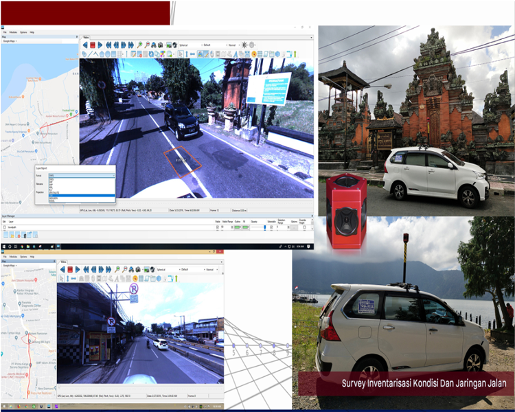
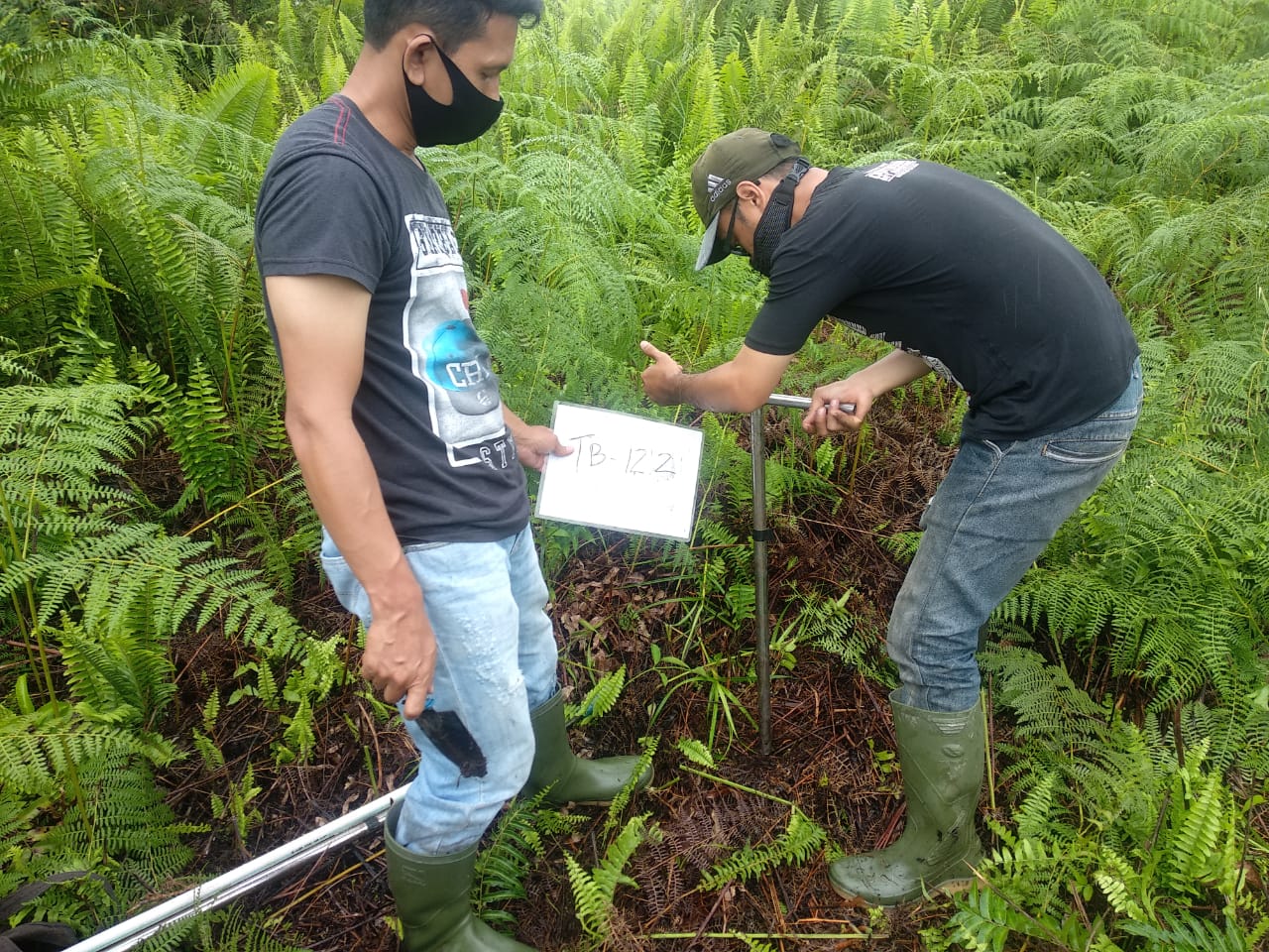
Survey Inventaris Kondisi dan Jaringan Jalan
Survei Jalan
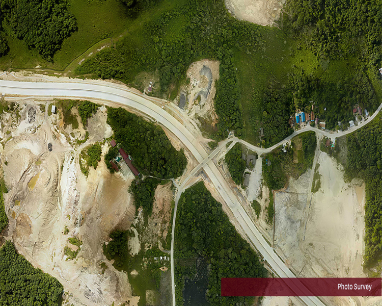
Survey Photo
Survey
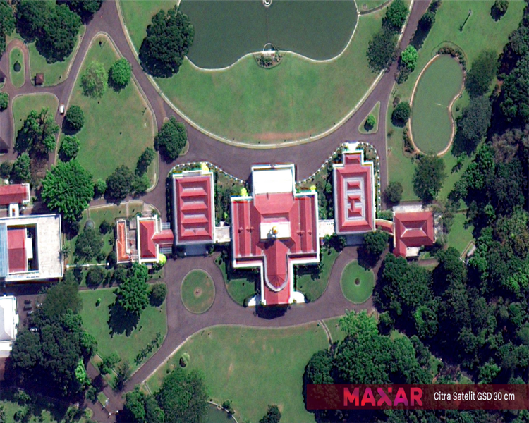
Citra Satellite
Maxar
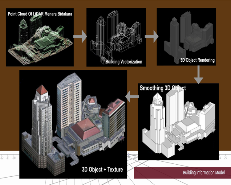
Building Information Model
3D Object
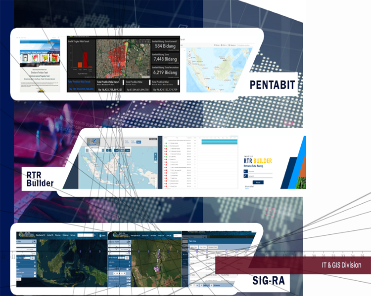
Web Development
Division IT

Info terkini
-->
-->
 -->
-->